
This itinerary replaces six sections of the main route with their mountain variants: the Col de Tricot and its suspension bridge over the Bionnassay torrent, the Col des Fours (2,665 m), the Mont de la Saxe ridge via the Tête Bernarda, the Fenêtre d'Arpette (2,665 m), the Les Grands balcony above the Trient Glacier and the detour via Lac Blanc. Distances and ascent are calculated from the OpenStreetMap track of each variant, except for Lac Blanc (estimated values).
These variants are higher, steeper and more remote than the main route. They call for settled weather, sure footing and some slack in your schedule. Early in the season, snowfields often linger at the Col des Fours and the Fenêtre d'Arpette. If in doubt, the main route is always an option: each variant leaves it and rejoins it.
Day-by-day plan
| Day | Leg | Distance | Ascent | Descent | Walking time | Overnight |
|---|---|---|---|---|---|---|
| Les Houches → Les Contamines-Montjoie via the Col de Tricot variant The Bellevue cable car saves you the initial climb (distance shown from Les Houches). | 19.6 km | 1,440 m | 1,290 m | 8h15 – 9h45 | Les Contamines-Montjoie | |
| Les Contamines-Montjoie → Les Mottets via the Col des Fours variant In good weather only; otherwise, take the main route via Les Chapieux. | 22.5 km | 1,720 m | 870 m | 8h45 – 10h15 | Ville des Glaciers and Les Mottets | |
| Les Mottets → Courmayeur | 23.4 km | 1,020 m | 1,750 m | 8h15 – 9h45 | Courmayeur | |
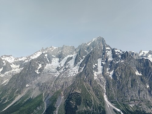
| Courmayeur → Rifugio Bonatti via the Tête Bernarda variant (Mont de la Saxe) | 13.8 km | 1,540 m | 760 m | 7h – 8h30 | Italian Val Ferret | |
| Rifugio Bonatti → La Fouly | 19.7 km | 860 m | 1,290 m | 6h45 – 8h | La Fouly | |
| La Fouly → Champex-Lac | 15.4 km | 530 m | 630 m | 4h30 – 5h15 | Champex-Lac | |
| Champex-Lac → Col de la Forclaz via the Fenêtre d'Arpette variant From the Chalet du Glacier, the path along the bisse (an old irrigation channel) leads to the Col de la Forclaz. | ≈ 13.8 km | 1,160 m | 1,120 m | 6h45 – 7h45 | Trient and Col de la Forclaz | |
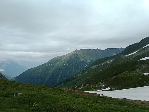
| Col de la Forclaz → Tré-le-Champ via the Les Grands variant | 17.7 km | 1,010 m | 1,110 m | 6h45 – 7h45 | Le Tour, Tré-le-Champ and Argentière | |
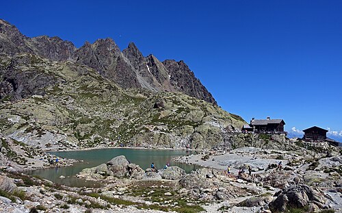
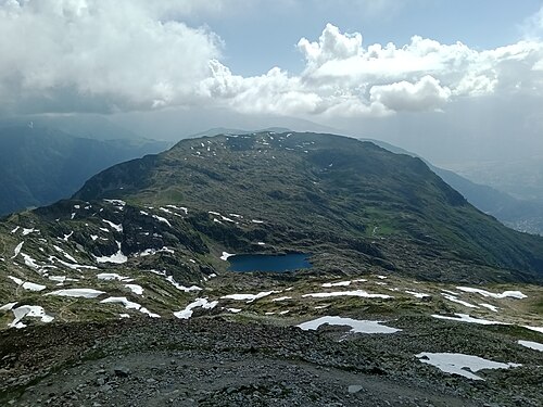
| Tré-le-Champ → La Flégère via the Lac Blanc variant Compulsory booking at Lac Blanc is under consideration for summer 2027: check before you set off. | ≈ 9.6 km | 970 m | 520 m | 4h45 – 5h30 | Lac Blanc and La Flégère | |
| La Flégère → Les Houches | 17.4 km | 710 m | 1,590 m | 6h30 – 7h45 | Les Houches | |
| Total | 173 km | 10,960 m | 10,930 m | |||
Distances and ascent calculated on the OpenStreetMap track of the main route and the variants; “≈” marks an estimated value. Walking times according to the DIN 33466 standard, without breaks.
The itinerary on the map
one color per dayD1overnight stopvariants
Build your own day-by-day plan, then export it as a GPX file.
Customize this itineraryTips for this itinerary
- With the Refuge de la Croix du Bonhomme closed until 2029, there is no accommodation after La Balme on the Les Contamines – Les Mottets day: set off early.
- There is no shelter or water point on the Mont de la Saxe ridge: fill your water bottles at Bertone.
- Do not head for the Fenêtre d'Arpette if thunderstorms are forecast: the main route via Bovine also leads to the Col de la Forclaz.
The stages in detail
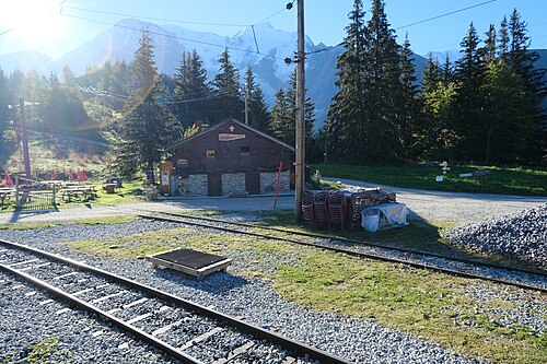 1
Les Houches Les Contamines-Montjoie
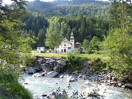 2
Les Contamines-Montjoie Les Chapieux
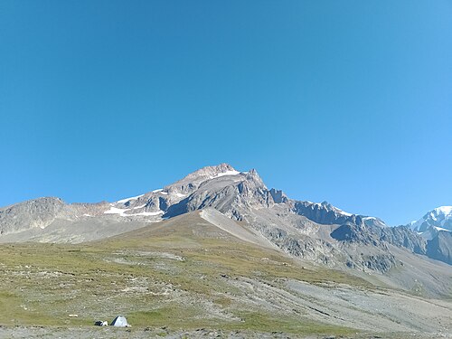 3
Les Chapieux Rifugio Elisabetta
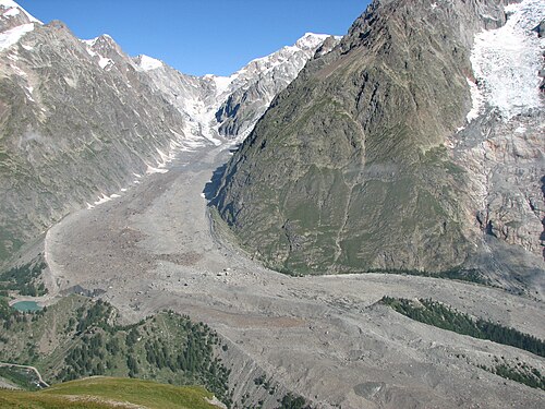 4
Rifugio Elisabetta Courmayeur
 5
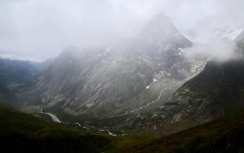
Courmayeur Rifugio Bonatti
 6
Rifugio Bonatti La Fouly
 7
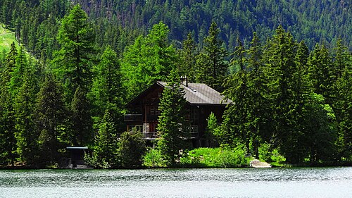
La Fouly Champex-Lac
 8
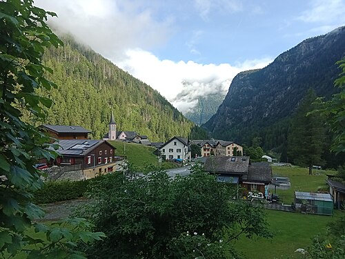
Champex-Lac Trient
 9
Trient Tré-le-Champ
 10
Tré-le-Champ La Flégère
 11
La Flégère Les Houches
Other itineraries
- The classic TMB in 11 days11 days · Intermediate
- The relaxed TMB in 14 days14 days · Easy-going
- The TMB in 12 days12 days · Easy-going
- The TMB in 10 days10 days · Challenging
- The TMB in 9 days9 days · Challenging
- The TMB in 8 days8 days · Very challenging
- The express TMB in 7 days7 days · Very challenging
- The TMB in private rooms, without dorms11 days · Intermediate
- The TMB clockwise in 11 days11 days · Intermediate
- The TMB starting from Chamonix11 days · Intermediate
- The TMB starting from Courmayeur11 days · Intermediate
- The TMB starting from Champex (Switzerland)11 days · Intermediate
- Partial TMB in 4 days: Les Houches – Courmayeur4 days · Intermediate
- Partial TMB in 3 days: Courmayeur – Champex3 days · Intermediate
- Partial TMB in 4 days: Champex – Les Houches4 days · Intermediate
- Partial TMB in 7 days: Les Houches – Champex7 days · Intermediate
- Partial TMB in 7 days: Courmayeur – Les Houches7 days · Intermediate