
Sitting between the 9-day itinerary and the 7-day express, this breakdown completes the loop in eight days entirely on foot. It relies on three nights away from the classic overnight stops: the Refuge de Nant Borrant, above Les Contamines; the Refuge des Mottets, about two hours from the Col de la Seigne; and the gîte at the La Peule alpine pasture, the first possible overnight stop in Switzerland after the Grand Col Ferret.
The fourth day, from Courmayeur to La Peule, is the most demanding: it strings together the climb to the Rifugio Bertone, the Val Ferret balcony and the Grand Col Ferret (2,537 m), the highest point on the main route. This pace is aimed at fast, well-trained hikers.
Day-by-day plan
| Day | Leg | Distance | Ascent | Descent | Walking time | Overnight |
|---|---|---|---|---|---|---|
| Les Houches → Nant Borrant | 21.8 km | 1,220 m | 830 m | 7h15 – 8h30 | Nant Borrant and La Balme | |
| Nant Borrant → Les Mottets No accommodation between La Balme and Les Chapieux in 2027 and 2028. Optional shuttle bus between Les Chapieux and the Ville des Glaciers. | 21.4 km | 1,530 m | 940 m | 8h15 – 9h45 | Ville des Glaciers and Les Mottets | |
| Les Mottets → Courmayeur | 23.4 km | 1,020 m | 1,750 m | 8h15 – 9h45 | Courmayeur | |
| Courmayeur → La Peule Hardest day: Bertone, Bonatti, Elena, then the Grand Col Ferret. | 24.6 km | 1,840 m | 1,020 m | 9h30 – 11h15 | La Peule and Ferret | |
| La Peule → Champex-Lac | 21.6 km | 550 m | 1,150 m | 6h15 – 7h30 | Champex-Lac | |
| Champex-Lac → Trient | 15.4 km | 770 m | 960 m | 5h30 – 6h30 | Trient and Col de la Forclaz | |
| Trient → Tré-le-Champ | 13.8 km | 1,060 m | 940 m | 6h – 7h15 | Le Tour, Tré-le-Champ and Argentière | |
| Tré-le-Champ → Les Houches Very long day: you can finish by cable car from La Flégère or the Brévent. | 24 km | 1,440 m | 1,880 m | 9h45 – 11h30 | Les Houches | |
| Total | 166 km | 9,430 m | 9,470 m | |||
Distances and ascent calculated on the OpenStreetMap track of the main route and the variants; “≈” marks an estimated value. Walking times according to the DIN 33466 standard, without breaks.
The itinerary on the map
one color per dayD1overnight stopvariants
Build your own day-by-day plan, then export it as a GPX file.
Customize this itineraryTips for this itinerary
- The La Peule gîte has only one dormitory and a private cabin for two: book it first.
- Train with 6- to 8-hour hikes carrying a pack before you set off.
- If you are tired, the TMR buses from Ferret and La Fouly to Orsières and Champex let you shorten the fifth day.
The stages in detail
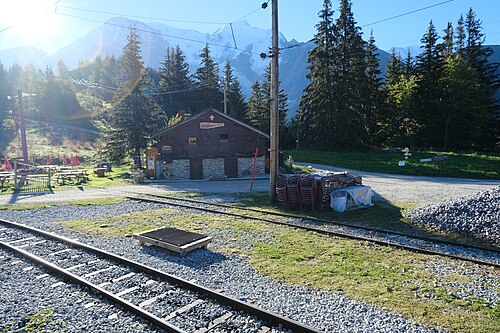 1
Les Houches Les Contamines-Montjoie
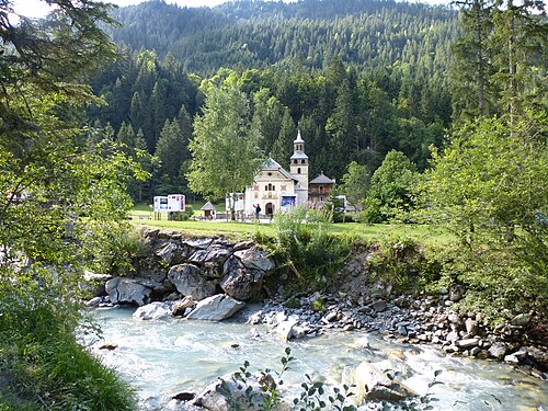 2
Les Contamines-Montjoie Les Chapieux
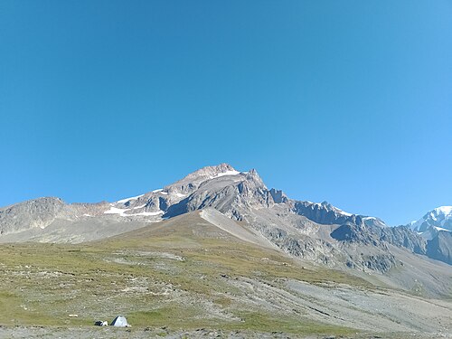 3
Les Chapieux Rifugio Elisabetta
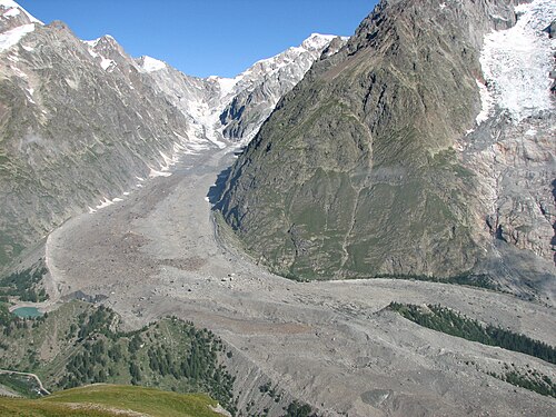 4
Rifugio Elisabetta Courmayeur
 5
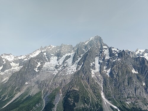
Courmayeur Rifugio Bonatti
 6
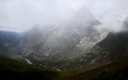
Rifugio Bonatti La Fouly
 7
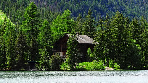
La Fouly Champex-Lac
 8
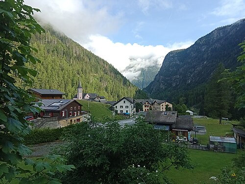
Champex-Lac Trient
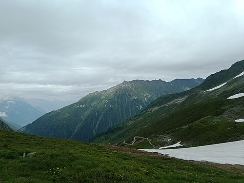 9
Trient Tré-le-Champ
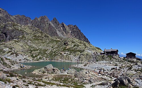 10
Tré-le-Champ La Flégère
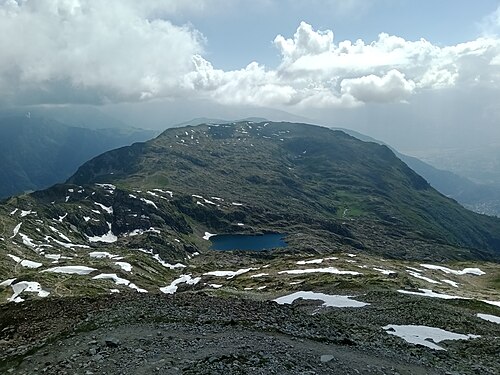 11
La Flégère Les Houches
Other itineraries
- The classic TMB in 11 days11 days · Intermediate
- The relaxed TMB in 14 days14 days · Easy-going
- The TMB in 12 days12 days · Easy-going
- The TMB in 10 days10 days · Challenging
- The TMB in 9 days9 days · Challenging
- The express TMB in 7 days7 days · Very challenging
- The TMB via the variants in 10 days10 days · Very challenging
- The TMB in private rooms, without dorms11 days · Intermediate
- The TMB clockwise in 11 days11 days · Intermediate
- The TMB starting from Chamonix11 days · Intermediate
- The TMB starting from Courmayeur11 days · Intermediate
- The TMB starting from Champex (Switzerland)11 days · Intermediate
- Partial TMB in 4 days: Les Houches – Courmayeur4 days · Intermediate
- Partial TMB in 3 days: Courmayeur – Champex3 days · Intermediate
- Partial TMB in 4 days: Champex – Les Houches4 days · Intermediate
- Partial TMB in 7 days: Les Houches – Champex7 days · Intermediate
- Partial TMB in 7 days: Courmayeur – Les Houches7 days · Intermediate