
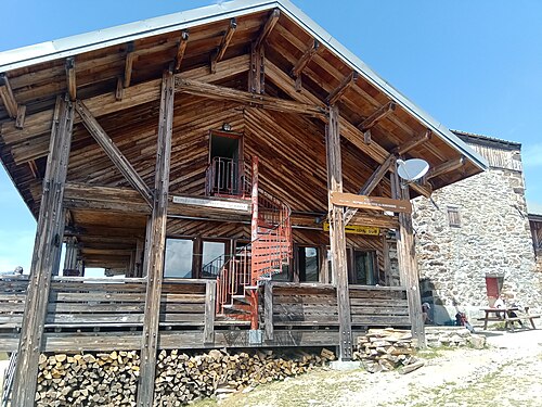
Mountain hutFRbuilding works
2,443 m
©Refuge du Col de la Croix du Bonhomme
Col de la Croix du Bonhomme · TMB km 30.5
Perched on the ridge line separating the Beaufortain from the Mont Blanc massif, this large Alpine Club refuge, built…
Stage 3 of 11 · France → Italy
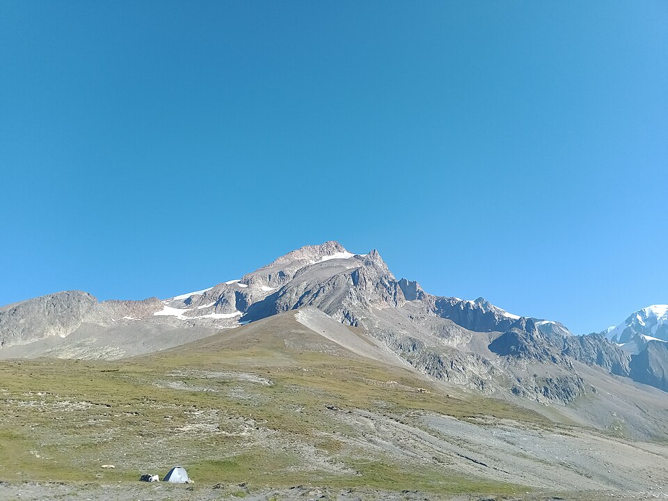
Via the Ville des Glaciers and Les Mottets to the Col de la Seigne, the Italian border and your first face-to-face encounter with the south side of Mont Blanc.
| Waypoint | Altitude | Km |
|---|---|---|
| Les Chapieux | 1,549 m | 0 km |
| Ville des Glaciers | 1,789 m | 3.9 km |
| Les Mottets | 1,870 m | 5.8 km |
| Col de la Seigne | 2,516 m | 10.5 km |
| Rifugio Elisabetta | 2,195 m | 13.8 km |
The first part heads up the Vallée des Glaciers on the minor road (or by summer shuttle bus) to the Ville des Glaciers, a handful of alpine farms at the foot of the aiguille of the same name. You then pass the Refuge des Mottets, a restored former alpine farm and the last chance to stock up before Italy.
The climb to the Col de la Seigne (2,516 m) follows steady zigzags up an open slope. At the col, on the French-Italian border, the panorama is one of the great moments of the tour: the Val Veny stretches away towards Courmayeur, overlooked by the Aiguille Noire de Peuterey and the south face of the massif.
The descent on the Italian side passes close to the Casermetta, a former customs post that is now an information point about Espace Mont-Blanc, then reaches the Rifugio Elisabetta Soldini, perched on a spur at the foot of the Lex Blanche Glacier. It is one of the most sought-after huts on the route: book very early.
Accommodation along the stage, at the finish or on its variants, in walking order.
2,443 m
©Col de la Croix du Bonhomme · TMB km 30.5
Perched on the ridge line separating the Beaufortain from the Mont Blanc massif, this large Alpine Club refuge, built…
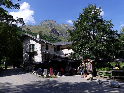
1,545 m
©Les Chapieux · TMB km 35.9
The only official bivouac area in the Chapieux – Vallée des Glaciers sector, at the entrance to the hamlet, very close…
1,554 m
Les Chapieux · TMB km 35.9
In the heart of the hamlet of Les Chapieux, this house has been receiving travelers since the late 19th century…
1,550 m
Les Chapieux · TMB km 35.9
A small guesthouse in the hamlet of Les Chapieux, beside the road and a stone's throw from the grocery shop, offering…
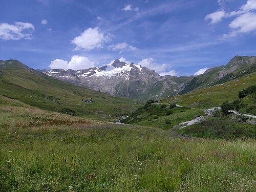
1,790 m
©La Ville des Glaciers · TMB km 40.5
The Les Arcs – Bourg-Saint-Maurice tourist office reports a paid campground at La Ville des Glaciers, an alpine…
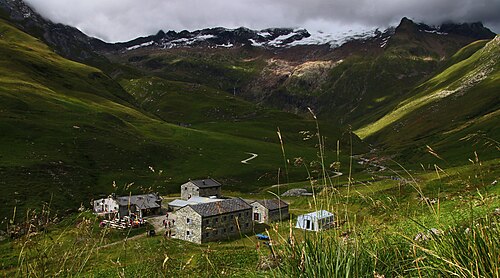
1,864 m
©SurroundingsLes Mottets (Vallée des Glaciers) · TMB km 42.1
A former alpine pasture farm at the head of the Vallée des Glaciers, converted into a refuge in the late 1960s and…
2,750 m
Aiguille des Glaciers (Vallée des Glaciers)
A small high-mountain refuge clinging to a ridge at 2,750 m facing the Glaciers Glacier, on an alpine route that…
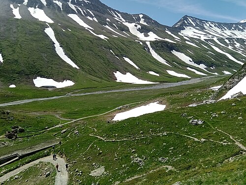
2,195 m
©Val Veny (Lée Blanche) · TMB km 49.9
A large stone refuge of the CAI Milano perched on a rocky spur at the foot of the Lée Blanche Glacier, about an hour's…