
You don't have to sleep in dormitories on the TMB. This itinerary follows the stages of the classic tour and lists, for each night, the places to stay that offer private rooms, according to our accommodation listings. On the Italian side, the Elisabetta and Bonatti huts have some in addition to their dormitories, and the Cabane du Combal, below Elisabetta, has seven rooms with their own shower room.
On two evenings you have to leave the trail. At Tré-le-Champ, the Auberge La Boërne only has dormitories, but Argentière and its hotels are 20 minutes away. At La Flégère, the hut only has dormitories: the cable car goes down to Les Praz, where you spend the night before going back up the next morning.
Day-by-day plan
| Day | Leg | Distance | Ascent | Descent | Walking time | Overnight |
|---|---|---|---|---|---|---|
| Les Houches → Les Contamines-Montjoie Rooms: hotels and B&Bs in the village. | 17.1 km | 970 m | 830 m | 6h – 7h | Les Contamines-Montjoie | |
| Les Contamines-Montjoie → Les Chapieux Rooms: Auberge de la Nova, Les Chambres du Soleil. | 18.9 km | 1,330 m | 920 m | 7h15 – 8h45 | Les Chapieux | |
| Les Chapieux → Rifugio Elisabetta Rooms: Rifugio Elisabetta, or Cabane du Combal 30 min further down. | 13.9 km | 970 m | 380 m | 4h45 – 5h45 | Val Veny | |
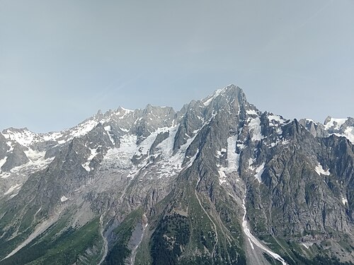
| Rifugio Elisabetta → Courmayeur Rooms: many hotels in Courmayeur and Dolonne. | 16.8 km | 520 m | 1,400 m | 5h45 – 6h45 | Courmayeur | |
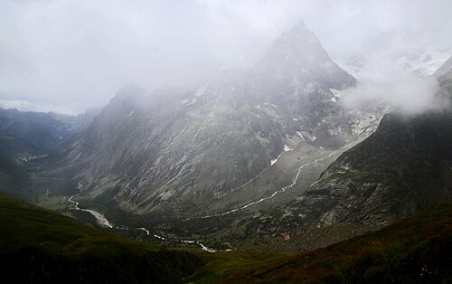
| Courmayeur → Rifugio Bonatti Rooms: Rifugio Bonatti (2 to 4 beds), or Val Ferret hotels in Lavachey and Planpincieux. | 11.1 km | 1,000 m | 240 m | 4h30 – 5h15 | Italian Val Ferret | |
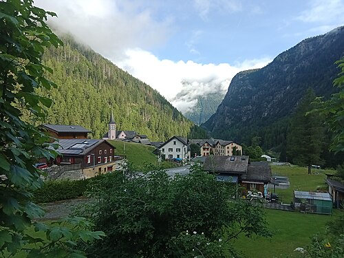
| Rifugio Bonatti → La Fouly Rooms: Hôtel Edelweiss and the village inns. | 19.7 km | 860 m | 1,290 m | 6h45 – 8h | La Fouly | |
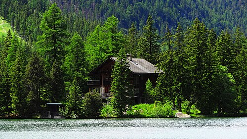
| La Fouly → Champex-Lac Rooms: many hotels around the lake. | 15.4 km | 530 m | 630 m | 4h30 – 5h15 | Champex-Lac | |
| Champex-Lac → Trient Rooms: Auberge du Mont-Blanc, Auberge La Grande Ourse, Hôtel du Col de la Forclaz. | 15.4 km | 770 m | 960 m | 5h30 – 6h30 | Trient and Col de la Forclaz | |
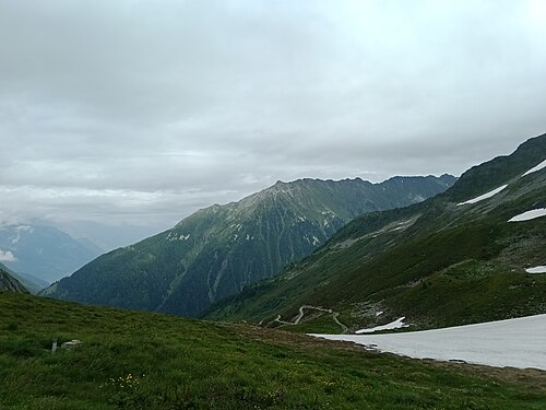
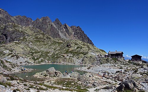
| Trient → Tré-le-Champ Rooms in Argentière, 20 min away: Hôtel de la Couronne, Le Dahu, Les Grands Montets. | 13.8 km | 1,060 m | 940 m | 6h – 7h15 | Le Tour, Tré-le-Champ and Argentière | |
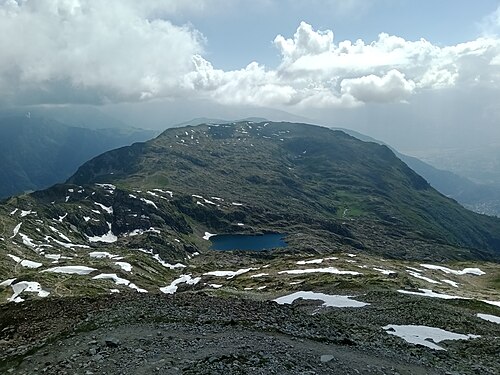
| Tré-le-Champ → La Flégère La Flégère cable car down to Les Praz: Hôtel Les Lanchers, or hotels in Chamonix. Back up the next morning. | 6.6 km | 720 m | 270 m | 3h15 – 3h45 | Chamonix-Mont-Blanc | |
| La Flégère → Les Houches | 17.4 km | 710 m | 1,590 m | 6h30 – 7h45 | Les Houches | |
| Total | 166 km | 9,440 m | 9,450 m | |||
Distances and ascent calculated on the OpenStreetMap track of the main route and the variants; “≈” marks an estimated value. Walking times according to the DIN 33466 standard, without breaks.
The itinerary on the map
one color per dayD1overnight stopvariants
Build your own day-by-day plan, then export it as a GPX file.
Customize this itineraryTips for this itinerary
- Huts only have a few rooms: book them as soon as bookings open (October 15, 2026 for summer 2027).
- Check the sleeping arrangements when you book: some hut rooms are shared by 3 or 4 people.
- The La Flégère cable car only runs in season (in 2026, June 20 – September 20): outside these dates, sleep in Argentière and carry on through to Les Houches.
The stages in detail
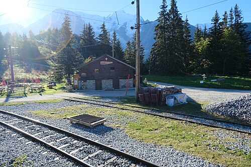 1
Les Houches Les Contamines-Montjoie
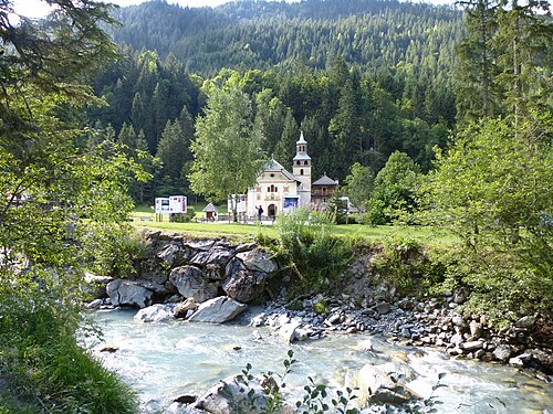 2
Les Contamines-Montjoie Les Chapieux
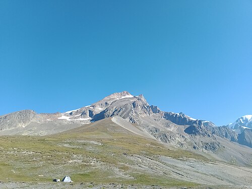 3
Les Chapieux Rifugio Elisabetta
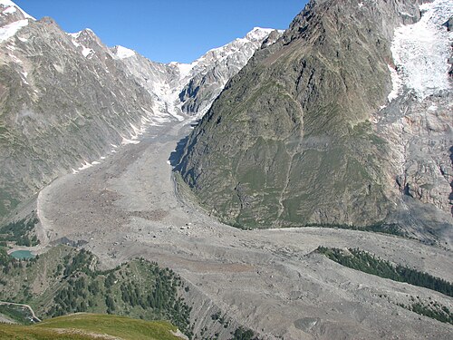 4
Rifugio Elisabetta Courmayeur
 5
Courmayeur Rifugio Bonatti
 6
Rifugio Bonatti La Fouly
 7
La Fouly Champex-Lac
 8
Champex-Lac Trient
 9
Trient Tré-le-Champ
 10
Tré-le-Champ La Flégère
 11
La Flégère Les Houches
Other itineraries
- The classic TMB in 11 days11 days · Intermediate
- The relaxed TMB in 14 days14 days · Easy-going
- The TMB in 12 days12 days · Easy-going
- The TMB in 10 days10 days · Challenging
- The TMB in 9 days9 days · Challenging
- The TMB in 8 days8 days · Very challenging
- The express TMB in 7 days7 days · Very challenging
- The TMB via the variants in 10 days10 days · Very challenging
- The TMB clockwise in 11 days11 days · Intermediate
- The TMB starting from Chamonix11 days · Intermediate
- The TMB starting from Courmayeur11 days · Intermediate
- The TMB starting from Champex (Switzerland)11 days · Intermediate
- Partial TMB in 4 days: Les Houches – Courmayeur4 days · Intermediate
- Partial TMB in 3 days: Courmayeur – Champex3 days · Intermediate
- Partial TMB in 4 days: Champex – Les Houches4 days · Intermediate
- Partial TMB in 7 days: Les Houches – Champex7 days · Intermediate
- Partial TMB in 7 days: Courmayeur – Les Houches7 days · Intermediate