
HotelFR
1,140 m
Hôtel La Gélinotte
La Revenaz (Les Contamines-Montjoie) · TMB km 16.2
Small unrated family hotel-restaurant on the chemin de la Revenaz, about a quarter of an hour's walk north of the…
Stage 2 of 11 · France
The first real mountain day: the Roman road, the Col du Bonhomme and the Croix du Bonhomme, before the long descent to the hamlet of Les Chapieux.
| Waypoint | Altitude | Km |
|---|---|---|
| Les Contamines-Montjoie | 1,164 m | 0 km |
| Notre-Dame de la Gorge | 1,210 m | 3.2 km |
| Nant Borrant | 1,459 m | 5.2 km |
| La Balme | 1,706 m | 7.7 km |
| Col du Bonhomme | 2,329 m | 11.5 km |
| Col de la Croix du Bonhomme | 2,479 m | 13.1 km |
| Les Chapieux | 1,549 m | 18.9 km |
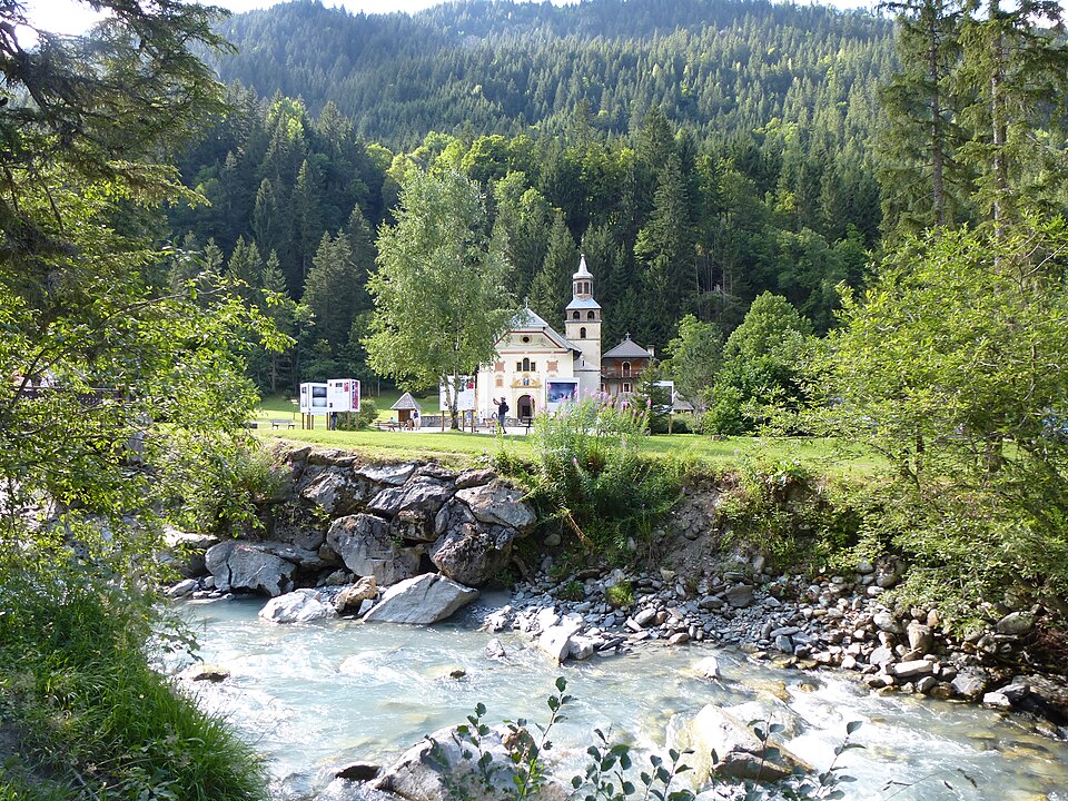
First you follow the Bon Nant on the flat to the Baroque chapel of Notre-Dame de la Gorge, the gateway to the Contamines-Montjoie Nature Reserve. Then begins a sustained climb on the old paved Roman road, which crosses the Téna natural rock bridge and reaches the Nant Borrant chalet-refuge, then the La Balme alpine pastures.
Beyond, the landscape turns stony and bare: the Plan des Dames with its large cairn, then the Col du Bonhomme (2,329 m). A long traverse, sometimes snow-covered in early summer, leads to the Col de la Croix du Bonhomme (2,479 m), one of the highest points on the route. The hut of the same name, just below, has been closed for renovation since August 17, 2026 (reopening announced for 2029): to split the stage, stay at Nant Borrant or La Balme.
The descent to Les Chapieux is long (nearly 1,000 m) but easy, through the Beaufortain pastures where Beaufort cheese is made. The hamlet of Les Chapieux, which has no reliable cell signal, has a few inns and a campground.
In good weather and with no snow, you can head straight to the Ville des Glaciers via the Col des Fours (2,665 m), the highest point reachable on the TMB variants. See the Col des Fours variant.
Accommodation along the stage, at the finish or on its variants, in walking order.
1,140 m
La Revenaz (Les Contamines-Montjoie) · TMB km 16.2
Small unrated family hotel-restaurant on the chemin de la Revenaz, about a quarter of an hour's walk north of the…
1,170 m
Village center (Les Contamines-Montjoie) · TMB km 17
Three B&B rooms (one room and two family suites) in a chalet in the village center, with a view of Mont Joly or the…
1,185 m
Chemin des Loyers (Les Contamines-Montjoie) · TMB km 17.1
A 3-star hotel in a former farmhouse dating from 1823, in a small hamlet perched just above the village center, and a…
1,180 m
Chemin des Drêts (Les Contamines-Montjoie) · TMB km 17.4
Recent 4-star hotel on the chemin des Drêts, geared towards wellness (spa, indoor pool, hammam) and made up mostly of…
1,150 m
Route de Notre-Dame de la Gorge (Les Contamines-Montjoie) · TMB km 17.4
A family-run 2-star hotel-restaurant, run by the same family for several generations, beside the road to Notre-Dame de…
1,164 m
©La Vy (Les Contamines-Montjoie) · TMB km 17.5
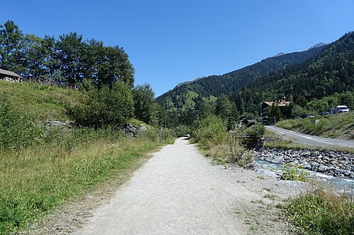
Small Alpine Club chalet in the hamlet of La Vy, about ten minutes' walk from the church and about 150 m from the TMB…
1,164 m
La Vy (Les Contamines-Montjoie) · TMB km 17.6
A restored former farm in the hamlet of La Vy, about 1 km from the center towards Notre-Dame de la Gorge and two…
1,200 m
Le Baptieu (Les Contamines-Montjoie) · TMB km 17.8
A recent establishment on the chemin du Baptieu, on the west side of the village, renting apartments and a few rooms…
1,170 m
Le Cugnon (Les Contamines-Montjoie) · TMB km 18
Family chalet in the hamlet of Le Cugnon, at the southern exit of the village and about a hundred meters from the TMB…
1,170 m
Le Lay (Les Contamines-Montjoie) · TMB km 18.1
Large 4-star chalet hotel in the hamlet of Le Lay, between the village center and the Pontet leisure park, about 150 m…
1,180 m
Le Pontet (Les Contamines-Montjoie) · TMB km 19.1
A 3-star campground at the foot of the nature reserve, next to the lake and the Pontet leisure area, about 200 m from…
1,180 m
Le Pontet (Les Contamines-Montjoie) · TMB km 19.1
Gîte built into the Pontet campground, at the southern exit of the village, a stone's throw from the TMB trail that…
1,180 m
Pontet leisure park (Les Contamines-Montjoie) · TMB km 19.2
Gîte in a renovated Savoyard farm in the heart of the Pontet leisure park, less than 100 m from the TMB and GR5 route…
1,180 m
©Pontet leisure park (Les Contamines-Montjoie) · TMB km 19.5
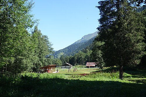
A bivouac area of about 2,500 m² created by the municipality in summer 2026 in the Pontet leisure park, at the foot of…
1,970 m
©Tré-la-Tête · TMB km 19.6
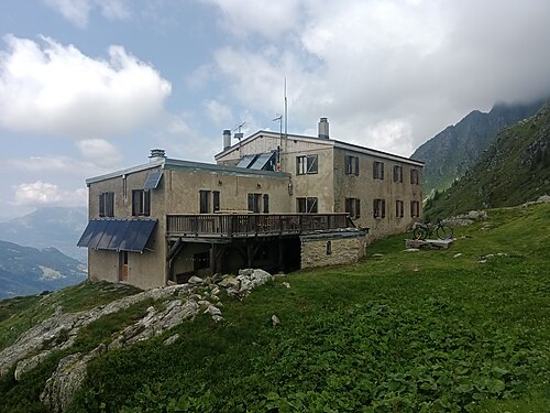
A private refuge built in 1908 at the foot of the Dômes de Miage and the Tré-la-Tête Glacier, run by Marielle Tuaz…
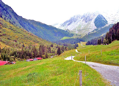
1,459 m
Nant Borrant · TMB km 22.3
A 19th-century alpine pasture chalet, a mountain hotel until 1976 and then a refuge, set in meadows 45 minutes' walk…
1,520 m
©La Giettaz – Pont de la Rollaz · TMB km 22.9
Nature reserve bivouac area on the TMB route, a quarter of an hour above the Nant Borrant refuge, near the Pont de la…
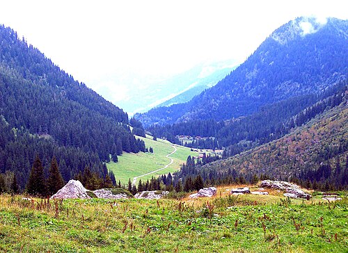
1,935 m
Alpage des Prés · TMB km 24.4
A refuge entirely rebuilt in 2021 on the Prés alpine pasture, at the foot of the Tête de la Cicle, slightly off the…
1,700 m
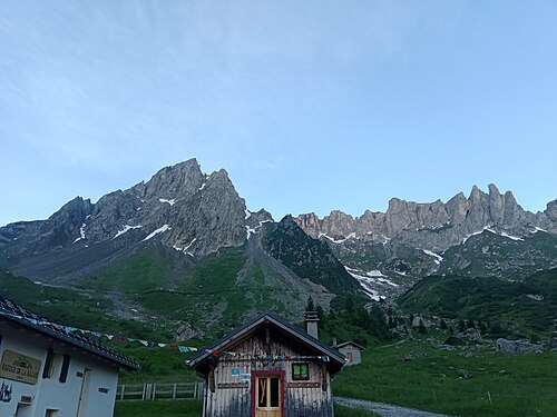
©La Balme · TMB km 24.6
Official bivouac area of the nature reserve, on a grassy slope about a hundred meters north-west of the La Balme…
1,706 m
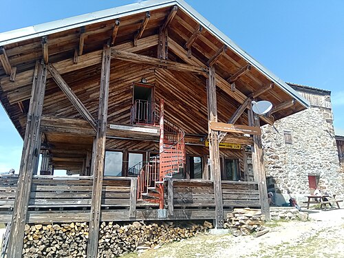
©La Balme · TMB km 24.8
A refuge run by the same family for three generations, at the foot of the Aiguille de la Pennaz, in the heart of the…
2,443 m
©Col de la Croix du Bonhomme · TMB km 30.5
Perched on the ridge line separating the Beaufortain from the Mont Blanc massif, this large Alpine Club refuge, built…
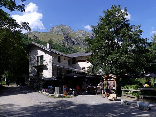
1,545 m
©Les Chapieux · TMB km 35.9
The only official bivouac area in the Chapieux – Vallée des Glaciers sector, at the entrance to the hamlet, very close…
1,554 m
Les Chapieux · TMB km 35.9
In the heart of the hamlet of Les Chapieux, this house has been receiving travelers since the late 19th century…
1,550 m
Les Chapieux · TMB km 35.9
A small guesthouse in the hamlet of Les Chapieux, beside the road and a stone's throw from the grocery shop, offering…
2,750 m
Aiguille des Glaciers (Vallée des Glaciers)
A small high-mountain refuge clinging to a ridge at 2,750 m facing the Glaciers Glacier, on an alpine route that…