
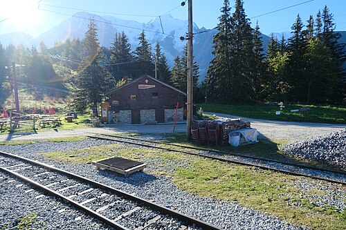
 1
Les Houches Les Contamines-Montjoie
750 m1,000 m1,250 m1,500 m1,750 m0 km5 km10 km15 km
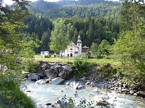 2
Les Contamines-Montjoie Les Chapieux
1,000 m1,250 m1,500 m1,750 m2,000 m2,250 m2,500 m2,750 m0 km5 km10 km15 km
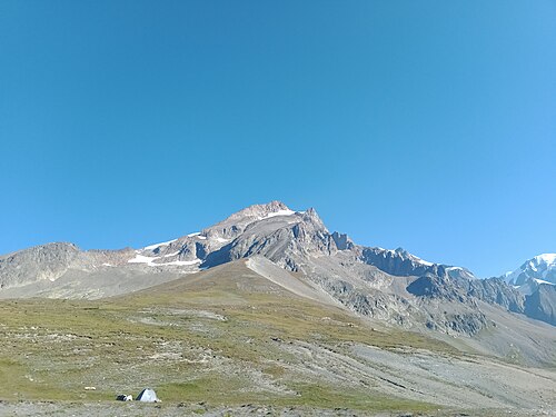 3
Les Chapieux Rifugio Elisabetta
1,500 m1,750 m2,000 m2,250 m2,500 m2,750 m0 km5 km10 km
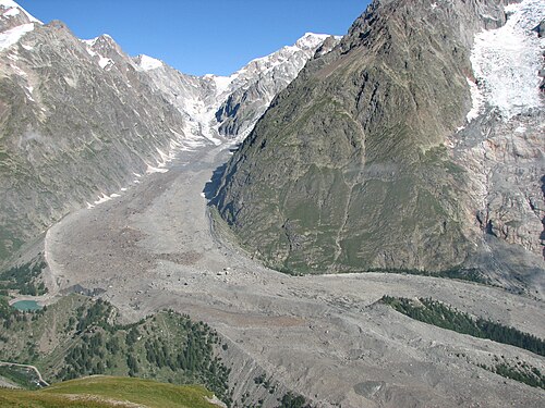 4
Rifugio Elisabetta Courmayeur
1,000 m1,250 m1,500 m1,750 m2,000 m2,250 m2,500 m0 km5 km10 km15 km
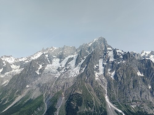 5
Courmayeur Rifugio Bonatti
1,000 m1,250 m1,500 m1,750 m2,000 m2,250 m0 km5 km10 km
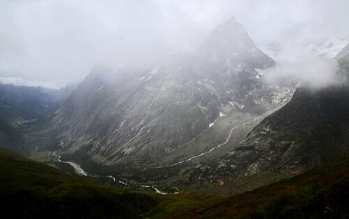 6
Rifugio Bonatti La Fouly
1,500 m1,750 m2,000 m2,250 m2,500 m2,750 m0 km5 km10 km15 km
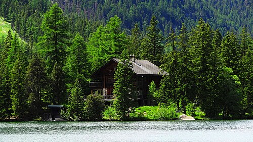 7
La Fouly Champex-Lac
1,000 m1,250 m1,500 m1,750 m0 km5 km10 km15 km
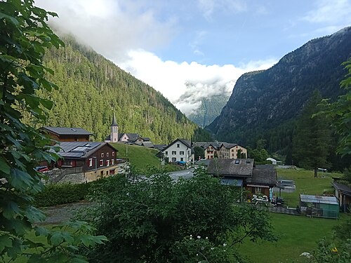 8
Champex-Lac Trient
1,250 m1,500 m1,750 m2,000 m2,250 m0 km5 km10 km15 km
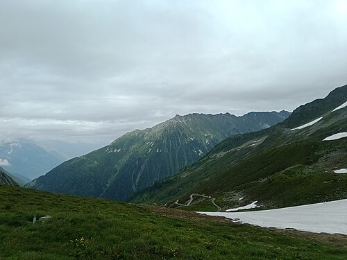 9
Trient Tré-le-Champ
1,250 m1,500 m1,750 m2,000 m2,250 m0 km5 km10 km
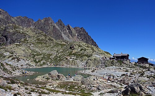 10
Tré-le-Champ La Flégère
1,250 m1,500 m1,750 m2,000 m2,250 m0 km2 km4 km6 km
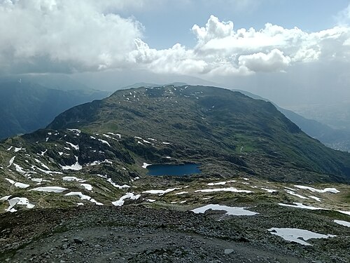 11
La Flégère Les Houches
500 m1,000 m1,500 m2,000 m2,500 m3,000 m0 km5 km10 km15 km
The summary table.
Actual walking time according to the DIN 33466 standard, breaks not included.
| Stage | Route | Distance | Ascent | Descent | Walking time | High point |
|---|---|---|---|---|---|---|
| 1 | Les Houches → Les Contamines-Montjoie | 17.1 km | 960 m | 830 m | 6h – 7h | Col de Voza 1,653 m |
| 2 | Les Contamines-Montjoie → Les Chapieux | 18.9 km | 1,330 m | 920 m | 7h15 – 8h30 | Col de la Croix du Bonhomme 2,479 m |
| 3 | Les Chapieux → Rifugio Elisabetta | 13.8 km | 960 m | 360 m | 4h45 – 5h45 | Col de la Seigne 2,516 m |
| 4 | Rifugio Elisabetta → Courmayeur | 16.8 km | 520 m | 1,400 m | 5h45 – 6h30 | Arête du Mont-Favre 2,430 m |
| 5 | Courmayeur → Rifugio Bonatti | 11.1 km | 990 m | 250 m | 4h30 – 5h15 | Rifugio Bonatti 2,025 m |
| 6 | Rifugio Bonatti → La Fouly | 19.7 km | 860 m | 1,280 m | 6h45 – 7h45 | Grand Col Ferret 2,537 m |
| 7 | La Fouly → Champex-Lac | 15.3 km | 530 m | 640 m | 4h30 – 5h15 | La Fouly 1,593 m |
| 8 | Champex-Lac → Trient | 15.5 km | 760 m | 950 m | 5h30 – 6h15 | Alpage de Bovine 1,987 m |
| 9 | Trient → Tré-le-Champ | 13.8 km | 1,060 m | 930 m | 6h – 7h | Aiguillette des Posettes 2,201 m |
| 10 | Tré-le-Champ → La Flégère | 6.6 km | 720 m | 270 m | 3h15 – 3h45 | Tête aux Vents 2,130 m |
| 11 | La Flégère → Les Houches | 17.4 km | 720 m | 1,600 m | 6h30 – 7h45 | Le Brévent 2,525 m |