
This itinerary follows the overnight stops of the classic TMB from Les Chapieux onwards, but splits the start of the route into three days instead of two. On the first evening you sleep in the hamlet of Bionnassay, just past the Col de Voza; on the second, at the Refuge de Nant Borrant, in the Contamines-Montjoie Nature Reserve. The climb to the Col du Bonhomme therefore comes on the third day, starting from Nant Borrant.
This breakdown takes into account the closure of the Refuge de la Croix du Bonhomme, under renovation from August 17, 2026 until 2029: there is no longer any accommodation between La Balme and Les Chapieux. Setting off from Nant Borrant shortens this day, on which there is nowhere to stop for the night.
Day-by-day plan
| Day | Leg | Distance | Ascent | Descent | Walking time | Overnight |
|---|---|---|---|---|---|---|
| Les Houches → Bionnassay Short day, handy on the day you arrive. | 8.2 km | 680 m | 370 m | 3h30 – 4h | Col de Voza, Bellevue and Bionnassay | |
| Bionnassay → Nant Borrant | 13.6 km | 540 m | 470 m | 4h – 4h45 | Nant Borrant and La Balme | |
| Nant Borrant → Les Chapieux | 14.2 km | 1,070 m | 920 m | 6h – 7h15 | Les Chapieux | |
| Les Chapieux → Rifugio Elisabetta | 13.9 km | 970 m | 380 m | 4h45 – 5h45 | Val Veny | |
| Rifugio Elisabetta → Courmayeur | 16.8 km | 520 m | 1,400 m | 5h45 – 6h45 | Courmayeur | |
| Courmayeur → Rifugio Bonatti | 11.1 km | 1,000 m | 240 m | 4h30 – 5h15 | Italian Val Ferret | |
| Rifugio Bonatti → La Fouly | 19.7 km | 860 m | 1,290 m | 6h45 – 8h | La Fouly | |
| La Fouly → Champex-Lac | 15.4 km | 530 m | 630 m | 4h30 – 5h15 | Champex-Lac | |
| Champex-Lac → Trient | 15.4 km | 770 m | 960 m | 5h30 – 6h30 | Trient and Col de la Forclaz | |
| Trient → Tré-le-Champ | 13.8 km | 1,060 m | 940 m | 6h – 7h15 | Le Tour, Tré-le-Champ and Argentière | |
| Tré-le-Champ → La Flégère | 6.6 km | 720 m | 270 m | 3h15 – 3h45 | Lac Blanc and La Flégère | |
| La Flégère → Les Houches | 17.4 km | 710 m | 1,590 m | 6h30 – 7h45 | Les Houches | |
| Total | 166 km | 9,430 m | 9,460 m | |||
Distances and ascent calculated on the OpenStreetMap track of the main route and the variants; “≈” marks an estimated value. Walking times according to the DIN 33466 standard, without breaks.
The itinerary on the map
one color per dayD1overnight stopvariants
Build your own day-by-day plan, then export it as a GPX file.
Customize this itineraryTips for this itinerary
- The Auberge de Bionnassay and the Refuge du Fioux are the two options for the first night: they have limited capacity, so book them early.
- As with the classic itinerary, book Elisabetta and Bonatti first: they are the first huts to fill up.
- Carry enough water and food for the Nant Borrant – Les Chapieux day: no accommodation is open between La Balme and Les Chapieux in 2027 and 2028.
The stages in detail
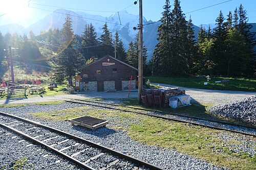 1
Les Houches Les Contamines-Montjoie
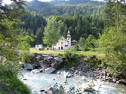 2
Les Contamines-Montjoie Les Chapieux
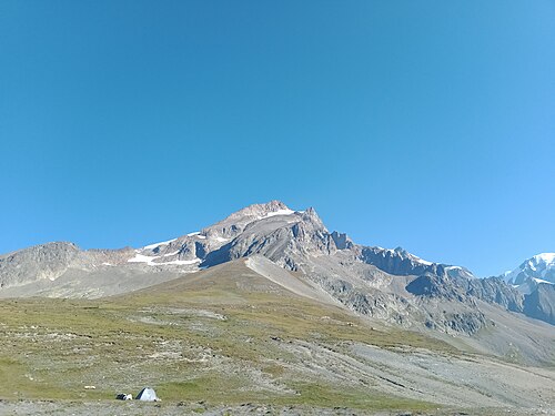 3
Les Chapieux Rifugio Elisabetta
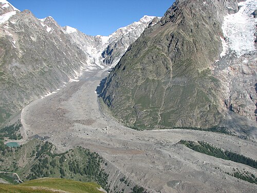 4
Rifugio Elisabetta Courmayeur
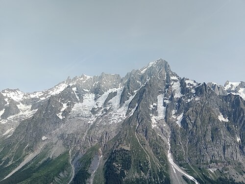 5
Courmayeur Rifugio Bonatti
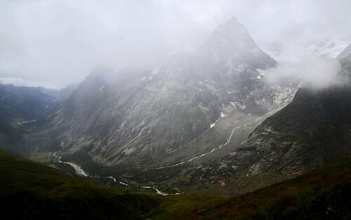 6
Rifugio Bonatti La Fouly
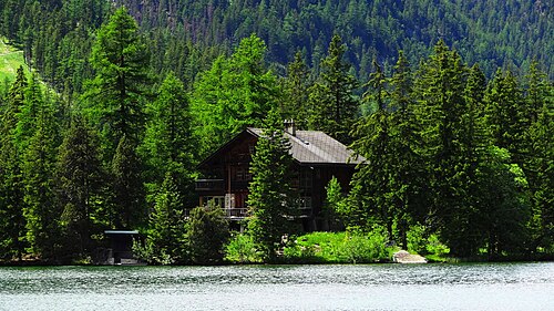 7
La Fouly Champex-Lac
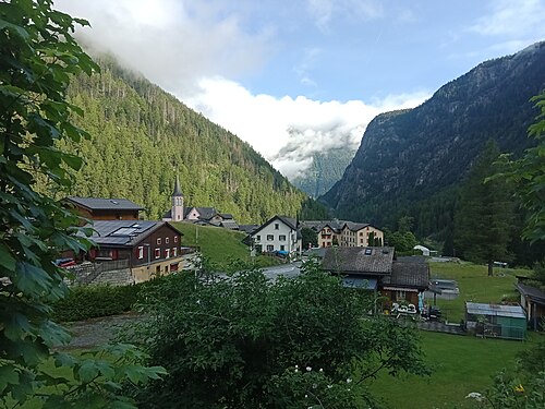 8
Champex-Lac Trient
 9
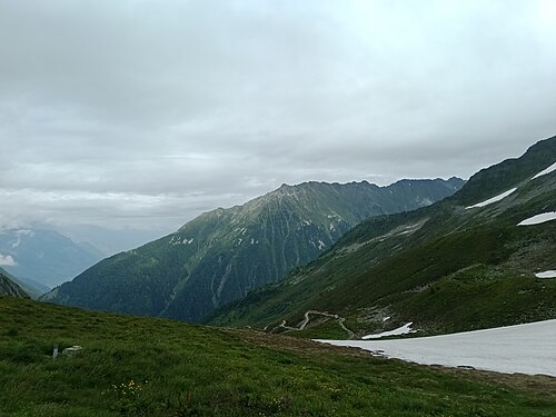
Trient Tré-le-Champ
 10
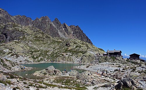
Tré-le-Champ La Flégère
 11
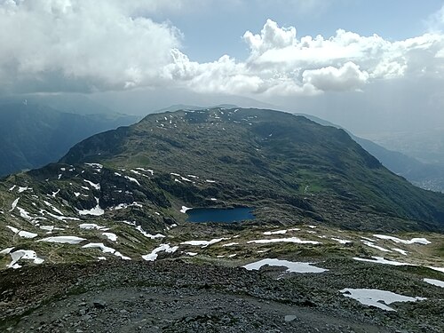
La Flégère Les Houches
Other itineraries
- The classic TMB in 11 days11 days · Intermediate
- The relaxed TMB in 14 days14 days · Easy-going
- The TMB in 10 days10 days · Challenging
- The TMB in 9 days9 days · Challenging
- The TMB in 8 days8 days · Very challenging
- The express TMB in 7 days7 days · Very challenging
- The TMB via the variants in 10 days10 days · Very challenging
- The TMB in private rooms, without dorms11 days · Intermediate
- The TMB clockwise in 11 days11 days · Intermediate
- The TMB starting from Chamonix11 days · Intermediate
- The TMB starting from Courmayeur11 days · Intermediate
- The TMB starting from Champex (Switzerland)11 days · Intermediate
- Partial TMB in 4 days: Les Houches – Courmayeur4 days · Intermediate
- Partial TMB in 3 days: Courmayeur – Champex3 days · Intermediate
- Partial TMB in 4 days: Champex – Les Houches4 days · Intermediate
- Partial TMB in 7 days: Les Houches – Champex7 days · Intermediate
- Partial TMB in 7 days: Courmayeur – Les Houches7 days · Intermediate