
Completing the TMB in a week is possible for fast, lightweight, well-trained hikers. The key: make smart use of the Bellevue cable car on the first day and the bus between La Fouly and Champex, and stay in the right places to balance out the days.
Be aware that this pace leaves little margin for bad weather and little time to enjoy the huts. The distances shown are trail distances, excluding sections covered by transport.
Day-by-day plan
| Day | Leg | Distance | Ascent | Descent | Walking time | Overnight |
|---|---|---|---|---|---|---|
| Les Houches → La Balme Bellevue cable car recommended to skip the first climb. | 23.7 km | 1,390 m | 830 m | 7h45 – 9h15 | Nant Borrant and La Balme | |
| La Balme → Rifugio Elisabetta Optional shuttle bus Les Chapieux – Ville des Glaciers. | 26.1 km | 1,870 m | 1,290 m | 10h15 – 12h | Val Veny | |
| Rifugio Elisabetta → Rifugio Bertone | 20.4 km | 1,230 m | 1,400 m | 8h – 9h30 | Italian Val Ferret | |
| Rifugio Bertone → La Fouly | 27.2 km | 1,150 m | 1,530 m | 8h45 – 10h15 | La Fouly | |
| La Fouly → Trient La Fouly – Orsières – Champex bus recommended: the distance shown includes this section. | 30.9 km | 1,300 m | 1,590 m | 9h45 – 11h30 | Trient and Col de la Forclaz | |
| Trient → La Flégère | 20.4 km | 1,790 m | 1,210 m | 9h15 – 11h | Lac Blanc and La Flégère | |
| La Flégère → Les Houches | 17.4 km | 710 m | 1,590 m | 6h30 – 7h45 | Les Houches | |
| Total | 166 km | 9,440 m | 9,440 m | |||
Distances and ascent calculated on the OpenStreetMap track of the main route and the variants; “≈” marks an estimated value. Walking times according to the DIN 33466 standard, without breaks.
The itinerary on the map
one colour per dayD1overnight stopvariants
Build your own day-by-day plan, then export it as a GPX file.
Customise this itineraryTips for this itinerary
- Travel light: a 30-litre pack weighing under 8 kg makes all the difference at this pace.
- Build a buffer day into your trip in case of bad weather.
The stages in detail
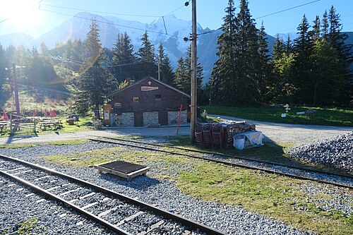 1
Les Houches Les Contamines-Montjoie
750 m1,000 m1,250 m1,500 m1,750 m0 km5 km10 km15 km
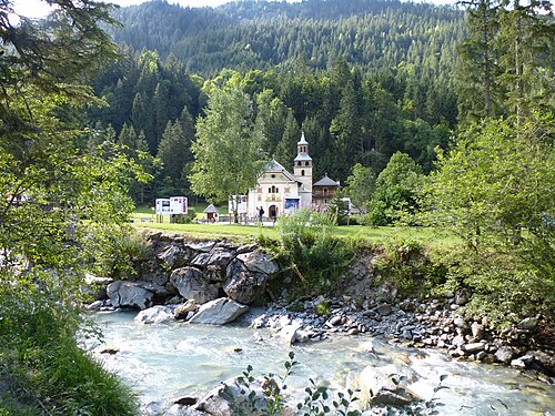 2
Les Contamines-Montjoie Les Chapieux
1,000 m1,250 m1,500 m1,750 m2,000 m2,250 m2,500 m2,750 m0 km5 km10 km15 km
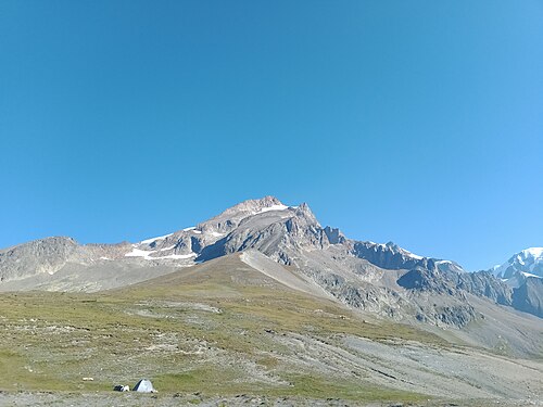 3
Les Chapieux Rifugio Elisabetta
1,500 m1,750 m2,000 m2,250 m2,500 m2,750 m0 km5 km10 km
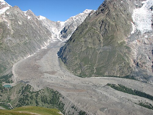 4
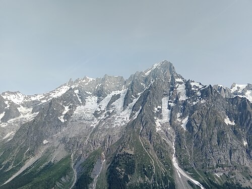
Rifugio Elisabetta Courmayeur
1,000 m1,250 m1,500 m1,750 m2,000 m2,250 m2,500 m0 km5 km10 km15 km
 5
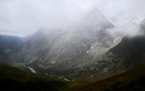
Courmayeur Rifugio Bonatti
1,000 m1,250 m1,500 m1,750 m2,000 m2,250 m0 km5 km10 km
 6
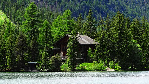
Rifugio Bonatti La Fouly
1,500 m1,750 m2,000 m2,250 m2,500 m2,750 m0 km5 km10 km15 km
 7
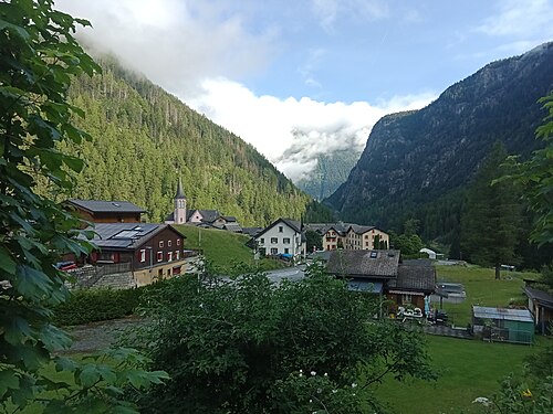
La Fouly Champex-Lac
1,000 m1,250 m1,500 m1,750 m0 km5 km10 km15 km
 8
Champex-Lac Trient
1,250 m1,500 m1,750 m2,000 m2,250 m0 km5 km10 km15 km
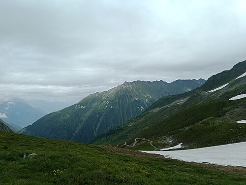 9
Trient Tré-le-Champ
1,250 m1,500 m1,750 m2,000 m2,250 m0 km5 km10 km
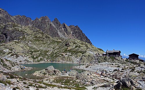 10
Tré-le-Champ La Flégère
1,250 m1,500 m1,750 m2,000 m2,250 m0 km2 km4 km6 km
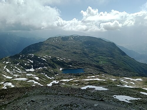 11
La Flégère Les Houches
500 m1,000 m1,500 m2,000 m2,500 m3,000 m0 km5 km10 km15 km
Other itineraries
- The classic TMB in 11 days11 days · Intermediate
- The relaxed TMB in 14 days14 days · Easy-going
- The TMB in 12 days12 days · Easy-going
- The TMB in 10 days10 days · Challenging
- The TMB in 9 days9 days · Challenging
- The TMB in 8 days8 days · Very challenging
- The TMB via the variants in 10 days10 days · Very challenging
- The TMB in private rooms, without dorms11 days · Intermediate
- The TMB clockwise in 11 days11 days · Intermediate
- The TMB starting from Chamonix11 days · Intermediate
- The TMB starting from Courmayeur11 days · Intermediate
- The TMB starting from Champex (Switzerland)11 days · Intermediate
- Partial TMB in 4 days: Les Houches – Courmayeur4 days · Intermediate
- Partial TMB in 3 days: Courmayeur – Champex3 days · Intermediate
- Partial TMB in 4 days: Champex – Les Houches4 days · Intermediate
- Partial TMB in 7 days: Les Houches – Champex7 days · Intermediate
- Partial TMB in 7 days: Courmayeur – Les Houches7 days · Intermediate