
This is the breakdown followed by the vast majority of hikers and guidebooks: eleven stages of 13 to 20 km, with an average of 850 m of ascent per day. It leaves you time to enjoy the scenery, take breaks and reach your hut by mid-afternoon, before the thunderstorms.
The anticlockwise direction is the most popular: it starts with relatively gentle stages, saves Lac Blanc and the Brévent for the finale, and matches the way most guidebooks are written.
Day-by-day plan
| Day | Leg | Distance | Ascent | Descent | Walking time | Overnight |
|---|---|---|---|---|---|---|
| Les Houches → Les Contamines-Montjoie | 17.1 km | 970 m | 830 m | 6h – 7h | Les Contamines-Montjoie | |
| Les Contamines-Montjoie → Les Chapieux | 18.9 km | 1,330 m | 920 m | 7h15 – 8h45 | Les Chapieux | |
| Les Chapieux → Rifugio Elisabetta | 13.9 km | 970 m | 380 m | 4h45 – 5h45 | Val Veny | |
| Rifugio Elisabetta → Courmayeur | 16.8 km | 520 m | 1,400 m | 5h45 – 6h45 | Courmayeur | |
| Courmayeur → Rifugio Bonatti | 11.1 km | 1,000 m | 240 m | 4h30 – 5h15 | Italian Val Ferret | |
| Rifugio Bonatti → La Fouly | 19.7 km | 860 m | 1,290 m | 6h45 – 8h | La Fouly | |
| La Fouly → Champex-Lac | 15.4 km | 530 m | 630 m | 4h30 – 5h15 | Champex-Lac | |
| Champex-Lac → Trient | 15.4 km | 770 m | 960 m | 5h30 – 6h30 | Trient and Col de la Forclaz | |
| Trient → Tré-le-Champ | 13.8 km | 1,060 m | 940 m | 6h – 7h15 | Le Tour, Tré-le-Champ and Argentière | |
| Tré-le-Champ → La Flégère | 6.6 km | 720 m | 270 m | 3h15 – 3h45 | Lac Blanc and La Flégère | |
| La Flégère → Les Houches | 17.4 km | 710 m | 1,590 m | 6h30 – 7h45 | Les Houches | |
| Total | 166 km | 9,440 m | 9,450 m | |||
Distances and ascent calculated on the OpenStreetMap track of the main route and the variants; “≈” marks an estimated value. Walking times according to the DIN 33466 standard, without breaks.
The itinerary on the map
one colour per dayD1overnight stopvariants
Build your own day-by-day plan, then export it as a GPX file.
Customise this itineraryTips for this itinerary
- Add a rest day in Courmayeur or Champex if your schedule allows.
- The Elisabetta, Bonatti and Lac Blanc huts are the first to fill up: book them first.
The stages in detail
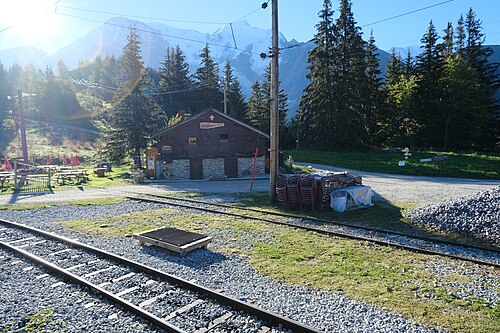 1
Les Houches Les Contamines-Montjoie
750 m1,000 m1,250 m1,500 m1,750 m0 km5 km10 km15 km
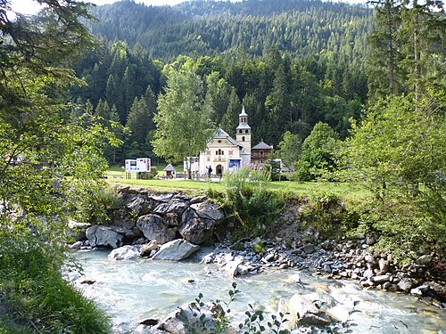 2
Les Contamines-Montjoie Les Chapieux
1,000 m1,250 m1,500 m1,750 m2,000 m2,250 m2,500 m2,750 m0 km5 km10 km15 km
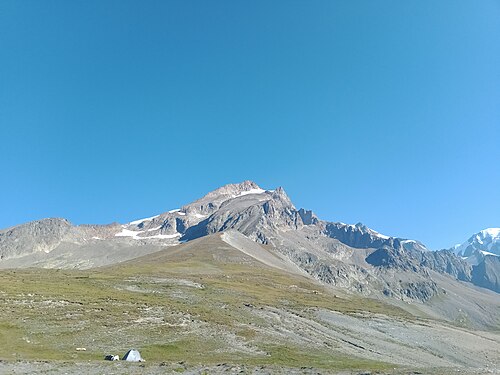 3
Les Chapieux Rifugio Elisabetta
1,500 m1,750 m2,000 m2,250 m2,500 m2,750 m0 km5 km10 km
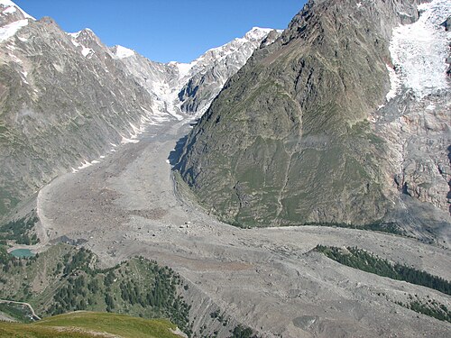 4
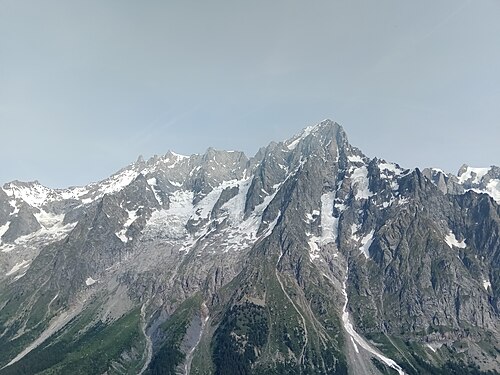
Rifugio Elisabetta Courmayeur
1,000 m1,250 m1,500 m1,750 m2,000 m2,250 m2,500 m0 km5 km10 km15 km
 5
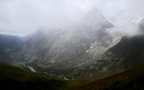
Courmayeur Rifugio Bonatti
1,000 m1,250 m1,500 m1,750 m2,000 m2,250 m0 km5 km10 km
 6
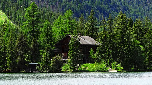
Rifugio Bonatti La Fouly
1,500 m1,750 m2,000 m2,250 m2,500 m2,750 m0 km5 km10 km15 km
 7
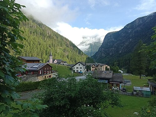
La Fouly Champex-Lac
1,000 m1,250 m1,500 m1,750 m0 km5 km10 km15 km
 8
Champex-Lac Trient
1,250 m1,500 m1,750 m2,000 m2,250 m0 km5 km10 km15 km
 9
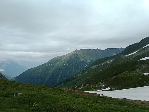
Trient Tré-le-Champ
1,250 m1,500 m1,750 m2,000 m2,250 m0 km5 km10 km
 10
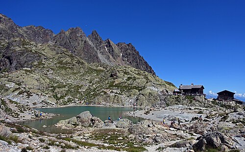
Tré-le-Champ La Flégère
1,250 m1,500 m1,750 m2,000 m2,250 m0 km2 km4 km6 km
 11
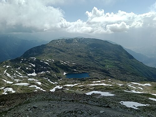
La Flégère Les Houches
500 m1,000 m1,500 m2,000 m2,500 m3,000 m0 km5 km10 km15 km
Other itineraries
- The relaxed TMB in 14 days14 days · Easy-going
- The TMB in 12 days12 days · Easy-going
- The TMB in 10 days10 days · Challenging
- The TMB in 9 days9 days · Challenging
- The TMB in 8 days8 days · Very challenging
- The express TMB in 7 days7 days · Very challenging
- The TMB via the variants in 10 days10 days · Very challenging
- The TMB in private rooms, without dorms11 days · Intermediate
- The TMB clockwise in 11 days11 days · Intermediate
- The TMB starting from Chamonix11 days · Intermediate
- The TMB starting from Courmayeur11 days · Intermediate
- The TMB starting from Champex (Switzerland)11 days · Intermediate
- Partial TMB in 4 days: Les Houches – Courmayeur4 days · Intermediate
- Partial TMB in 3 days: Courmayeur – Champex3 days · Intermediate
- Partial TMB in 4 days: Champex – Les Houches4 days · Intermediate
- Partial TMB in 7 days: Les Houches – Champex7 days · Intermediate
- Partial TMB in 7 days: Courmayeur – Les Houches7 days · Intermediate