
CampsiteITvariant
1,560 m
Hobo Camping
Cuignon (Val Veny) · TMB km 60
A bohemian-style campsite on a large meadow at Cuignon, in the Val Veny, with standard pitches, tipis, a yurt and…
Variant Stage 4: Rifugio Elisabetta – Courmayeur
The bad-weather option for the fourth stage: down along the floor of the Val Veny, at the foot of the Miage Glacier, then a shuttle bus to Courmayeur.
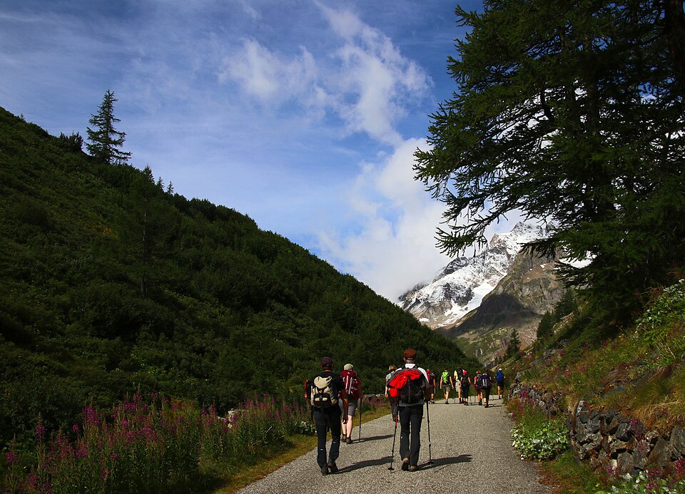
Rather than climbing back up to the Arête du Mont-Favre, this variant follows the floor of the Val Veny from Lac Combal. It runs alongside the moraine of the Miage Glacier, one of the few black glaciers in the Alps, covered in rock debris. A short detour lets you see the little Lac du Miage, right up against the glacier.
The descent continues along the valley road to La Visaille, from where a summer shuttle bus runs to Courmayeur. You can also carry on walking to the sanctuary of Notre-Dame de la Guérison, facing the Brenva Glacier, then on to Entrèves and Courmayeur.
This is the option to choose in thunderstorms, if there is fog on the ridge, or for a shorter day. You miss the great Mont-Favre balcony, but you gain a close-up view of the glaciers.
1,560 m
Cuignon (Val Veny) · TMB km 60
A bohemian-style campsite on a large meadow at Cuignon, in the Val Veny, with standard pitches, tipis, a yurt and…
1,525 m
La Zerotta (Val Veny) · TMB km 60.3
A large 2-star campsite at La Zerotta, among the meadows and forests of the Val Veny, about 6 km from Courmayeur, with…
1,510 m
Peuterey (Val Veny)
A family campsite nestled in a conifer forest at Peuterey, in the heart of the Val Veny, about 5 km from Courmayeur…
1,700 m
©SurroundingsLa Fodze (Val Veny) · TMB km 60.8
A CAI UGET Turin refuge built in 1952 at La Fodze, on the Val Veny side, and reachable in summer by a drivable track…
1,480 m
Plan Ponquet (Val Veny)
A 2-star mountain-style hotel, isolated in the meadows of Plan Ponquet, a few hundred metres from the…