
Elevation profile
Description
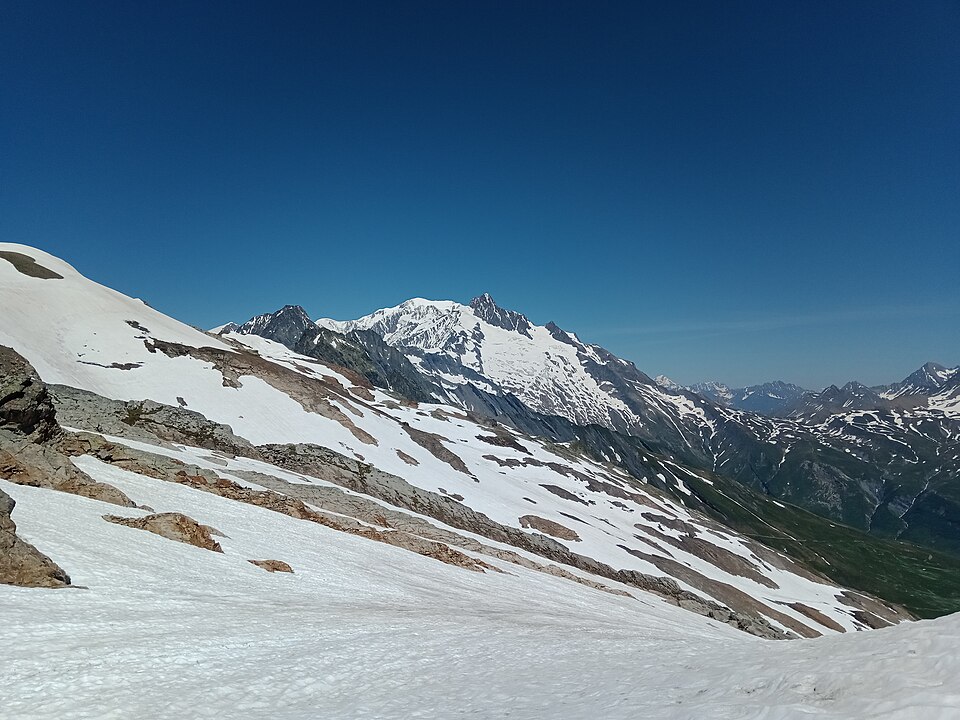
From the Col de la Croix du Bonhomme, the variant climbs over schist and scree to the Col des Fours (2,665 m), which shares with the Fenêtre d'Arpette the title of highest point on the TMB variants. A short out-and-back to the Tête Nord des Fours offers an exceptional panorama of Mont Blanc and the Vallée des Glaciers.
The descent to the Ville des Glaciers is long and steep, on a path that is sometimes poorly marked in its upper section. It lets you carry straight on to Les Mottets and the Col de la Seigne without going via Les Chapieux.
From the Tête Nord des Fours, an alpine route that is not waymarked as TMB, with cable-protected sections, leads to the Refuge Robert Blanc (2,750 m) and then the Col de la Seigne: it is for experienced hikers only, from mid-July to September.
Snowfields often linger until mid-July on the north side of the col. In fog, route-finding becomes tricky: in that case, stay on the main route.
Tips
- Avoid in bad weather, fog or heavy snow.
- With the Refuge de la Croix du Bonhomme closed until 2029, the variant has to be tackled from La Balme or Nant Borrant: a big day to Les Mottets.