
Elevation profile
1,750 m2,000 m2,250 m2,500 m2,750 m0 km2 km4 km6 km8 km10 kmTête Bernarda 2,534 m
Description
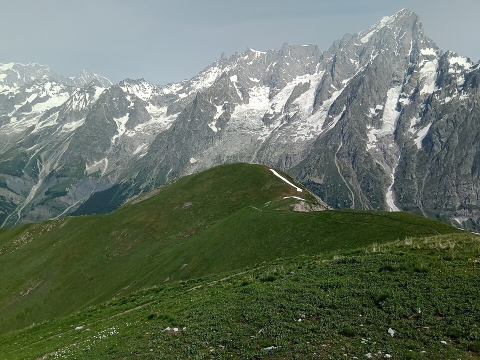
Above the Rifugio Bertone, this variant leaves the classic balcony path to gain the Mont de la Saxe ridge. The trail follows the grassy crest to the Tête Bernarda (2,534 m), with a head-on, completely unobstructed view of the Grandes Jorasses, the Dent du Géant and the entire Italian side of the massif.
You then descend to the Col Sapin and the Sapin valley before climbing back up to the Pas Entre-deux-Sauts (2,524 m). The descent through the Malatrà valley rejoins the main route at the Rifugio Bonatti.
The route adds about 300 m of ascent compared with the classic balcony path and includes some steep sections. Save it for days of settled fine weather, as the ridge is very exposed to thunderstorms.
Tips
- There is no shelter or water on the ridge: leave Bertone with plenty of supplies.
- If a thunderstorm threatens, drop back down to the classic balcony path, which is more sheltered.